
A geographic information system (GIS) stores, analyzes, and displays geographically referenced information provided in large part by GPS. Today GIS is used to monitor vehicle location, making possible effective strategies that can keep transit vehicles on schedule and inform passengers of precise arrival times. Mass transit systems use this capability to track rail, bus, and other services to improve on-time performance.
Many new capabilities are made possible with the help of GPS. Instant car pools are feasible since people desiring a ride can be instantly matched with a vehicle in a nearby area.
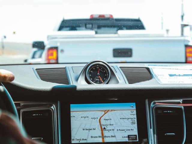
Using GPS technology to help track and forecast the movement of freight has made a logistical revolution, including an application known as time-definite delivery. In time-definite delivery, trucking companies use GPS for tracking to guarantee delivery and pickup at the time promised, whether over short distances or across time zones. When an order comes in, a dispatcher punches a computer function, and a list of trucks appears on the screen, displaying a full array of detailed information on the status of each of them. If a truck is running late or strays off route, an alert is sent to the dispatcher.
Many nations use GPS to help survey their road and highway networks, by identifying the location of features on, near, or adjacent to the road networks. These include service stations, maintenance and emergency services and supplies, entry and exit ramps, damage to the road system, etc. The information serves as an input to the GIS data gathering process. This database of knowledge helps transportation agencies to reduce maintenance and service costs and enhances the safety of drivers using the roads.