
An important area of disaster relief is in the management of wildfires. To contain and manage forest fires, aircraft combine GPS with infrared scanners to identify fire boundaries and "hot spots." Within minutes, fire maps are transmitted to a portable field computer at the firefighters' camp. Armed with this information, firefighters have a greater chance of winning the battle against the blaze.
In earthquake prone areas such as the Pacific Rim, GPS is playing an increasingly prominent role in helping scientists to anticipate earthquakes. Using the precise position information provided by GPS, scientists can study how strain builds up slowly over time in an attempt to characterize, and in the future perhaps anticipate, earthquakes.
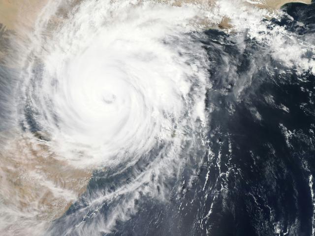
Meteorologists responsible for storm tracking and flood prediction also rely on GPS. They can assess water vapor content by analyzing transmissions of GPS data through the atmosphere.