 Official U.S. government information about the
Global Positioning System (GPS) and related topics
Official U.S. government information about the
Global Positioning System (GPS) and related topics
USG Presentations from
Congressional Outreach Event
March 14, 2008
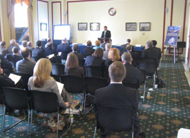
The following presentations were delivered by the U.S. Government panelists at a congressional outreach event focusing on The Global Positioning System (GPS): Benefiting the United States Today and Tomorrow. The event was organized by the Space Enterprise Council of the U.S. Chamber of Commerce and the U.S. GPS Industry Council.
|
DOWNLOAD 3.3 MB |
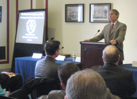
Panel I: Benefits to U.S. Economic, National, and Homeland SecurityEd Morris, U.S. Department of Commerce This presentation provides an overview of government uses and benefits of space-based PNT, and the U.S. policies that have stimulated the growth of this technology. It also describes some of the Commerce Department's activities as a user, provider/developer, and manager/promoter of space-based PNT. |
|
DOWNLOAD 6.3 MB |
United States Department of AgricultureGary Mast, U.S. Department of Agriculture This presentation provides an introduction to USDA and the ways that USDA agencies utilize space-based PNT technology to accomplish their missions |
|
DOWNLOAD 9.6 MB |
Global Positioning SystemMajor Charles Daniels, U.S. Air Force This briefing provides an overview of the Global Positioning System, its performance, and its national security benefits. It also describes the GPS modernization program. |
|
DOWNLOAD 10 MB |
FAA Global Navigation Satellite System (GNSS) Program Plans and StatusLeo Eldredge, Federal Aviation Administration This presentation describes the role of space-based PNT systems in meeting growing aviation needs. It provides updates on the Wide Area Augmentation System (WAAS) and Local Area Augmentation System (LAAS). |
|
DOWNLOAD 2.1 MB |
Domestic Space-Based PNT Interference Detection and MitigationCaptain Curtis Dubay, U.S. Department of Homeland Security This briefing explains current and future processes for detecting and mitigating interference to U.S. space-based PNT systems. |
|
DOWNLOAD 11.6 MB |
Position, Navigation and Timing: GPS Scientific ApplicationsRuth Neilan, NASA This presentation describes scientific applications of GPS dating back to the 1980s, including high-precision geodesy to measure the changing shape of the planet and spaceborne uses of GPS aboard science satellites. The briefing also describes NASA's Global Differential GPS capabilities and the International GNSS Service. |


